Huntly Shire
Huntly Shire (1866-1994), north of Bendigo, was proclaimed on 13 July 1866, the successor to a road district which had been created in 1861. It was named after the Huntly parish (1854) which was probably named after Huntly, Aberdeenshire, Scotland.
The shire’s south-west corner adjoined Epsom (Bendigo), its eastern boundary was the Campaspe River and its northern boundary ran through Diggora West. Its area was 878 sq km, unchanged since the shire was created.
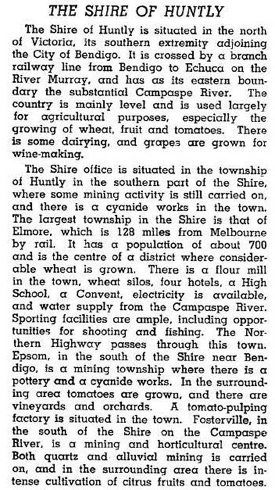
The administrative centre of the shire was Huntly, nearly on the edge of Bendigo’s urban fringe. In the south of the shire there were former gold mining areas at Huntly, Fosterville and Bagshot. The Midland Highway and railway line (1864) running north-east through the shire connected Goornong and Elmore to Bendigo. Elmore was the shire’s largest town, situated in a wheat/sheep farming area. The Kamerooka State Park was in the north-west of the shire. The shire was described in 1946 in the Australian blue book:

In 1994 farming took up 73% of the shire’s area, on which 7300 cattle, 83,000 pigs and 106,000 sheep and lambs were raised. Nearly 13,000 tonnes of wheat were grown.
On 7 April 1994, Huntly shire was united with Bendigo and Marong cities, Eaglehawk borough and Strathfieldsaye shire to form Greater Bendigo city.
Huntly shire’s census populations were:
| census date | population |
|---|---|
| 1881 | 3764 |
| 1911 | 3253 |
| 1921 | 3098 |
| 1933 | 2929 |
| 1947 | 2285 |
| 1961 | 2295 |
| 1971 | 2242 |
| 1976 | 2470 |
| 1981 | 3130 |
| 1986 | 4020 |
| 1991 | 4542 |
Further Reading
Huntly 126 years 1854 to 1980: a chronicle of events, Back-To-Huntly 1980 Committee
Marjorie Shaw, Our goodly heritage, history of Huntly shire, Huntly Shire Council, 1966
Ascot, Elmore, Epsom, Fosterville, Goornong, Huntly and Kamerooka entries


